Checking apps for EV charging only works while you still have miles. COtrip.org is the live source for I-70 closures. It also shows traction-law status when CDOT posts it. Open those tools before you commit to a mountain or plains run.
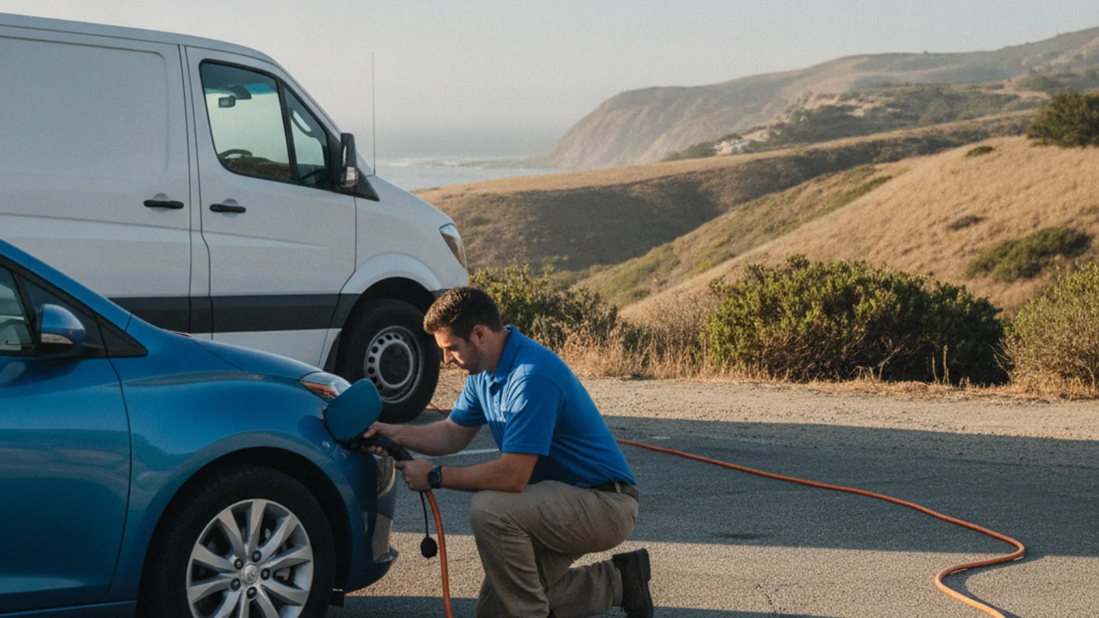
Check COtrip before you trust a charging pin
A charging map can look fine while the interstate is already shut. I-70 west toward the Eisenhower-Johnson Memorial Tunnel is the usual example. CDOT posts closures and traction rules on COtrip.org. You can also hear it on the 511 line. Highway signs carry the same traction-law call when it’s active.
Passenger Vehicle Traction Law means AWD, 4WD, or winter tires. Those M+S tires need at least 3/16-inch of tread. Two-wheel-drive cars need chains or an approved device. In a severe storm, Passenger Vehicle Chain Law can apply to every vehicle. Those rules activate by signage and by COtrip. They don’t run on a date you memorize.
If COtrip shows a hold at Vail Pass, rewrite the stop list. A tunnel closure does the same thing. Idaho Springs has a Tesla Supercharger with eight stalls. From the Denver side, that’s the last Supercharger before the tunnel. Silverthorne and Frisco have Superchargers on the far side. None of that helps if the corridor is closed.
The I-70 Mountain Express Lane is about twelve miles long. It runs from the Veterans Memorial Tunnels near Idaho Springs to Empire Junction. Westbound has used dynamic tolling since November 25, 2024. Don’t plan a charge around a lane you may not use.
Start with the car’s own app
Use the app your automaker built for the car. It can read the pack you actually have, not a generic range guess. That’s the one advantage a third-party map usually can’t match.
We’re not naming a maker’s app or listing its buttons. Software changes, and we can’t verify every model’s current screen. Check the owner’s manual or the maker’s site. Confirm what it routes to today.
Treat the suggested stop as a draft. The app can’t promise a free, working plug when you arrive. Confirm the station in a network tool before you spend the miles.
Add the network apps you actually use
Public networks run their own apps or sites for their own hardware. Those feeds are usually the freshest view of that brand’s stalls. They still only know their own equipment.
Tesla Superchargers sit across the metro core. You’ll find them in Denver, Lakewood, and Boulder. Thornton, Northglenn, Westminster, Arvada, Brighton, and Longmont have them too. South-metro drivers should check Lone Tree at Park Meadows. Centennial, Highlands Ranch, and Castle Rock have Superchargers too. EVgo and Electrify America add DC fast sites on top of that mix.
One network app will miss the others. Checking two or three before a longer run is more useful. We’re not ranking those apps. Features shift, and an outdated description would be a guess.
For a government inventory, use the DOE Alternative Fuels Data Center. That’s a locator for reported public stations, not a live stall feed. A local overview lives on our Denver metro EV charging hub. Use it for context, then verify in the live apps.
Treat aggregator maps as a snapshot
Aggregator apps mash several networks into one map. Some add driver notes about a stall that worked last week. That’s useful for spotting a site a single network app hid.
A pin isn’t a promise. A stall can be listed and still be occupied, broken, or taken offline. A comment from last month is one driver’s moment, not tonight’s status.
If the percentage is already sliding, stop shopping for a prettier map. Our guide on what to do when an EV is running low covers that next decision. Read it before you’re fully stuck.
Factor Front Range cold into the plan
January’s normal low around Denver sits near 18 degrees. Recurrent Auto studied winter range on more than 30,000 U.S. EVs. At 32 degrees, cars held about 78 percent of max range. At 20 degrees the average held about 70 percent. AAA’s 2026 dynamometer work found about 39 percent range loss at 20 degrees. Heat-pump models held roughly ten more points at 32 degrees in the Recurrent set. Plan with the colder number if you’re heading out before sunrise.
The January 2024 arctic blast hit Denver hard. The city went from 47 to minus 19 in about two days. Events like that also knock 12-volt batteries offline after a long sit. That’s a jump or an on-site 12-volt swap, not an empty traction pack. Charging apps won’t diagnose it.
Denver’s official mark is 5,280 feet at the State Capitol. Golden sits near 5,675 feet, and Evergreen is about 7,200. Idaho Springs is 7,526 feet. The west portal of the Eisenhower-Johnson Memorial Tunnel is 11,158 feet. Climbing costs energy, and descent can return a large share through regen. Drivers often ease regen on icy grades for traction. If you’re bound for Evergreen or Idaho Springs, check COtrip and your range together.
Peña Boulevard is the only road into Denver International. It’s city-maintained, not an interstate, and it sits exposed on the plains. A closure there stranded airport traffic during the March 2019 bomb cyclone. Airport parking charging counts aren’t confirmed here. Don’t treat a garage pin as a sure thing after a long trip.
When a listing is not a rescue
Charging apps find a station. They don’t fix a stall that won’t start a session. They also don’t wake a car that won’t accept a charge.
CDOT Safety Patrol is free on covered freeway segments. That includes parts of I-25 South from 120th Avenue to Arapahoe Road. It covers I-70 East from Wadsworth to Airport Boulevard. Portions of US-6, C-470, and I-225 are in the program too. The I-70 Mountain Corridor patrol runs Morrison to Vail.
Front Range weekday hours are 6:00 to 9:30 a.m. Afternoon coverage runs 2:30 to 7:00 p.m. Weekends run 10:00 a.m. to 7:00 p.m. Mountain Corridor hours are 6:00 a.m. to 7:00 p.m. Friday through Sunday. They also run during significant weather.
Patrol can jump a 12-volt, change a tire, and handle debris. CDOT’s own pages don’t mention EV charging or a pack boost. If the traction battery is empty, the free state truck isn’t the charge.
On E-470, a disabled driver can pull to the shoulder and dial *470. That authority’s assistance covers flats, jump-starts, fluids, and debris. It doesn’t publish an EV-charge service. State Patrol is *CSP (*277) on that road.
I-25 North and US-36 Express Lanes were built with a minimum eight-foot outside shoulder. Move right if you break down there. CRS 42-4-1202 allows a disabled vehicle on the shoulder. That’s when the car truly can’t go farther. Keep the hazards on. Colorado has no separate statute for a dead EV. Abandoned-vehicle law under CRS 42-4-1803 doesn’t run on a fixed clock. An officer decides on reasonable grounds. Don’t sit and wait for a made-up hour limit.
If the maps run out of reachable options
When every app shows the same dead end, more apps won’t help. Stop burning the last miles on an unverified pin. Get the car onto the shoulder with the hazards on. Then call for a charge in place.
Mobile EV charging is how we match you with an independent operator. The operator brings a 240-volt Level 2 source to the car. Tesla gets a native NACS plug. Other EVs use a CCS or J1772 adapter.
That charge typically adds 10 to 20 miles. Figure on 15 to 30 minutes of charging time. That’s plug time, not a promise of when someone arrives. The operator quotes you before work starts and bills you directly.
If the pack is already at zero, ask about out-of-charge recovery. The operator on scene decides what the car and the shoulder will allow. For an I-70 shoulder, see out of charge on I-70.
If COtrip and the charging apps still leave you stuck, call (720) 738-6950. We’ll connect you with a local mobile rescue operator.